
El Nino 2027 Explained: Will India Face Hotter Weather, Weak Rainfall and Costlier Food?
Heat, Rainfall and Food Risks Ahead
 IN
Tue, Oct 20, 2026 | 02:16 PM IST
IN
Tue, Oct 20, 2026 | 02:16 PM IST

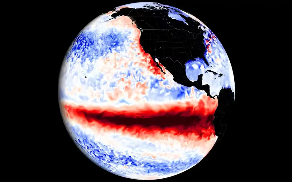
El Nino is no longer just a possibility. The World Meteorological Organization has confirmed that the climate pattern is firmly established in the tropical Pacific and is expected to strengthen into a very strong event before the end of 2026. In its latest update on September 3, the World Meteorological Organization said there is a near-100% probability that the event will persist through February 2027, with impacts on temperatures and rainfall continuing well into next year.
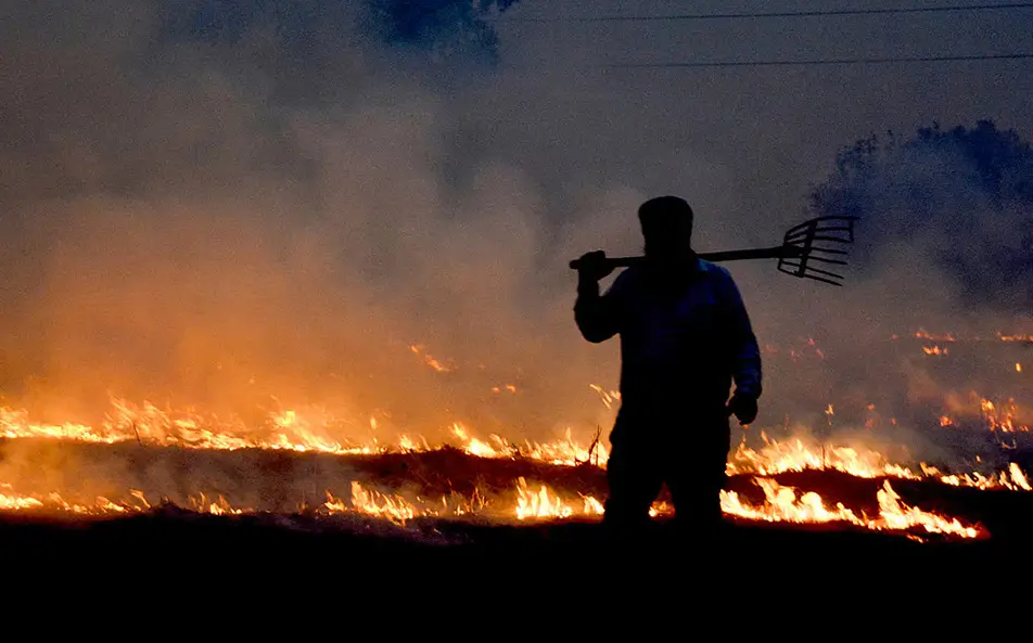
For India, that raises concerns about a warmer winter, irregular rainfall, water stress and the possibility of stronger heatwaves before the 2027 monsoon.
But the impact will not be identical everywhere. India's weather is influenced not only by conditions in the Pacific but also by the Indian Ocean Dipole, local sea temperatures, snow cover and regional atmospheric systems. That means India weather in 2027 cannot yet be predicted from this climate signal alone. What is clear is that households, farmers and governments now have several months to prepare.
The outlook has become progressively stronger through 2026. In May, WMO estimated an 80% probability that the climate pattern would emerge during June-August, increasing to around 90% later in the year. By July, WMO said a strong event was developing. Its August-October seasonal outlook projected sea-surface temperature anomalies of around 2.9°C in the key monitoring region of the equatorial Pacific.
The newest September outlook is more striking. For September-November 2026, WMO's multi-model forecast puts the average Niño 3.4 anomaly at approximately 3.6°C, with intensification expected to peak around November or December. That would place the current episode among the strongest events. WMO stresses, however, that the strength of an ocean event does not automatically determine the severity of its impact in any one country.
These events generally develop during one year, peak around the end of that year and can continue influencing global temperatures and weather patterns into the following year. That is why attention is increasingly shifting from the remaining months of 2026 towards early and mid-2027. The current event is expected to persist through at least February 2027.
For India, experts cited by Hindustan Times have warned that persistence into early 2027 could raise the likelihood of a warmer-than-normal winter followed by an unusually warm pre-monsoon season and stronger heatwave risk. That does not mean every part of India will experience drought or extreme heat.
The positive Indian Ocean Dipole currently developing could partly offset some negative effects over the subcontinent. WMO's latest September-November forecast puts the positive IOD seasonal average around +0.9°C. That could provide India with some natural cushioning, but it is not a guarantee.
India entered this monsoon season already facing a weaker outlook. The India Meteorological Department's April forecast projected all-India southwest monsoon rainfall at approximately 92% of the Long Period Average, placing the season in the below-normal category. By the end of May, IMD's updated forecast reduced that estimate further to around 90% of LPA. Rainfall has also been uneven geographically.
Some districts have experienced large deficits followed by sudden periods of excess rain, creating problems for sowing, irrigation and crop management. For September, IMD is continuing to issue regional rainfall and temperature forecasts as conditions evolve. Its latest bulletins have flagged subdued rainfall activity over parts of Peninsular India. This is why anyone following the weather forecast India should look at local IMD advisories rather than assuming the entire country will experience the same conditions.
Agriculture is one of India's biggest vulnerabilities when rainfall becomes irregular. A weak or badly distributed monsoon can reduce soil moisture, delay sowing and increase irrigation costs. If crop yields suffer, those pressures can eventually reach consumers through higher prices for cereals, pulses, vegetables and other food items. ICAR has already begun preparing for the current event. Agricultural agencies are developing contingency plans that include climate-resilient crops, better water management, crop diversification and more frequent weather-based advisories.
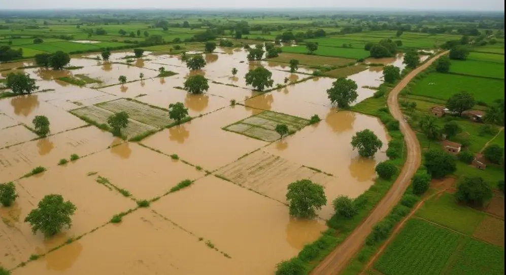
For rain-dependent farming regions, that preparation is particularly important. The risk is not simply “less rain.” A season can also bring long dry spells interrupted by intense rainfall, which can be damaging in a different way.
You cannot stop a large-scale climate pattern. But you can reduce how badly heat, water shortages, irregular rainfall and food-price shocks affect your household.
Do not rely on WhatsApp forwards predicting “record heat” or “no monsoon”. Check IMD's daily, weekly and extended-range forecasts for your own district. The impact can vary enormously between states.
A national climate outlook tells you the broad risk; a local forecast tells you what you actually need to prepare for.
If warmer conditions develop in early 2027, basic preparation can make a difference. Before peak summer:
IMD specifically advises avoiding excessive heat exposure and dehydration when heatwave warnings are issued.
Water stress can become a bigger problem when rainfall is below normal or badly distributed. Households can prepare by repairing leaking taps, reducing avoidable water use and ensuring storage systems are clean and functional. Housing societies and businesses can check rainwater-harvesting systems before the next dry period rather than waiting until reservoirs fall.
Climate concerns can create rumours about shortages. Avoid hoarding rice, wheat, pulses or other essentials simply because of an alarming weather forecast. Instead, households can maintain a sensible normal buffer and monitor government price and supply updates. Panic buying itself can worsen temporary supply pressures.
For farmers, preparation needs to be more specific. ICAR and Krishi Vigyan Kendras are already recommending measures such as:
In vulnerable districts, ICAR has specifically promoted diversification towards crops such as pulses, oilseeds, millets and maize where local conditions make them appropriate.
Farmers should follow their local KVK or agriculture department rather than switching crops purely on the basis of a national forecast.
Extreme weather can affect more than temperature. Food prices may move if harvests weaken, while high electricity use during hotter months can raise household bills. Families can prepare by maintaining an emergency fund and allowing some flexibility in monthly budgets for food, water and electricity. This does not require panic.
It simply recognises that climate shocks can eventually become household-cost shocks.
Preparation cannot fall entirely on individuals. IMD has advised authorities to keep cooling shelters operational, ensure drinking-water availability and strengthen health surveillance during periods of extreme heat. Agricultural authorities are also implementing district-level contingency plans. ICAR programmes currently underway include efficient water management, climate-resilient crop varieties, conservation measures and real-time farmer advisories. Cities will also need to prepare for both extremes.
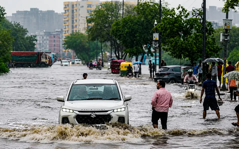
A strong climate event can increase drought risk in some locations while raising the possibility of intense rainfall and flooding elsewhere. Water storage, drainage, heat action plans and early-warning systems therefore all matter.
The strongest part of the current event is expected towards the end of 2026. WMO now sees a near-100% likelihood that it will remain in place through February 2027.
That makes the coming winter and pre-monsoon season important periods to watch. For India, however, the eventual outcome will depend on several interacting climate systems.
The positive Indian Ocean Dipole could reduce some of the negative rainfall impact. Regional weather systems could also alter what individual states experience.
So the responsible conclusion is not that India is guaranteed a drought, flood or extreme heat crisis in 2027. It is that the risk has increased enough to justify preparation now.
The best response is simple: follow official forecasts, prepare for heat and water stress, protect vulnerable family members, and—if you depend on farming—act early on local agricultural advisories rather than waiting for the weather to turn.
Everything you need to know
The World Meteorological Organization says El Nino will intensify into a strong event between August and October 2026, with its peak intensification trajectory falling around November 2026.
WMO says El Nino events exert their strongest influence on global temperatures the year after they begin. INCOIS separately estimates an 85 to 98 percent probability that El Nino remains the dominant pattern from July 2026 through March 2027, covering the period when India would feel the sharpest effects.
IMD's April 2026 long-range forecast projected all-India monsoon rainfall at about 92 percent of the long period average, a below-normal reading, and warned El Nino could reduce rainfall in both the kharif and rabi cropping seasons, with knock-on effects for food prices.





Oct 15, 2026
TUI Staff
Oct 15, 2026
TUI Staff
Sep 28, 2026
TUI Staff
Sep 22, 2026
TUI Staff
Oct 19, 2026
TUI Staff
Oct 19, 2026
TUI Staff
Oct 17, 2026
TUI Staff
Oct 17, 2026
TUI Staff

Stay informed with independent, fact-checked journalism on technology, environment, government, economy and more. India’s most trusted digital news platform.





Comments (0)
Be the first to comment!