
Bay of Bengal Hit by Third Cyclone in Less Than a Month: Why Is India's Eastern Coast Facing Back-to-Back Storms?
Three storms reveal the science behind seasonal cyclones.
 IN
Fri, Nov 20, 2026 | 01:35 PM IST


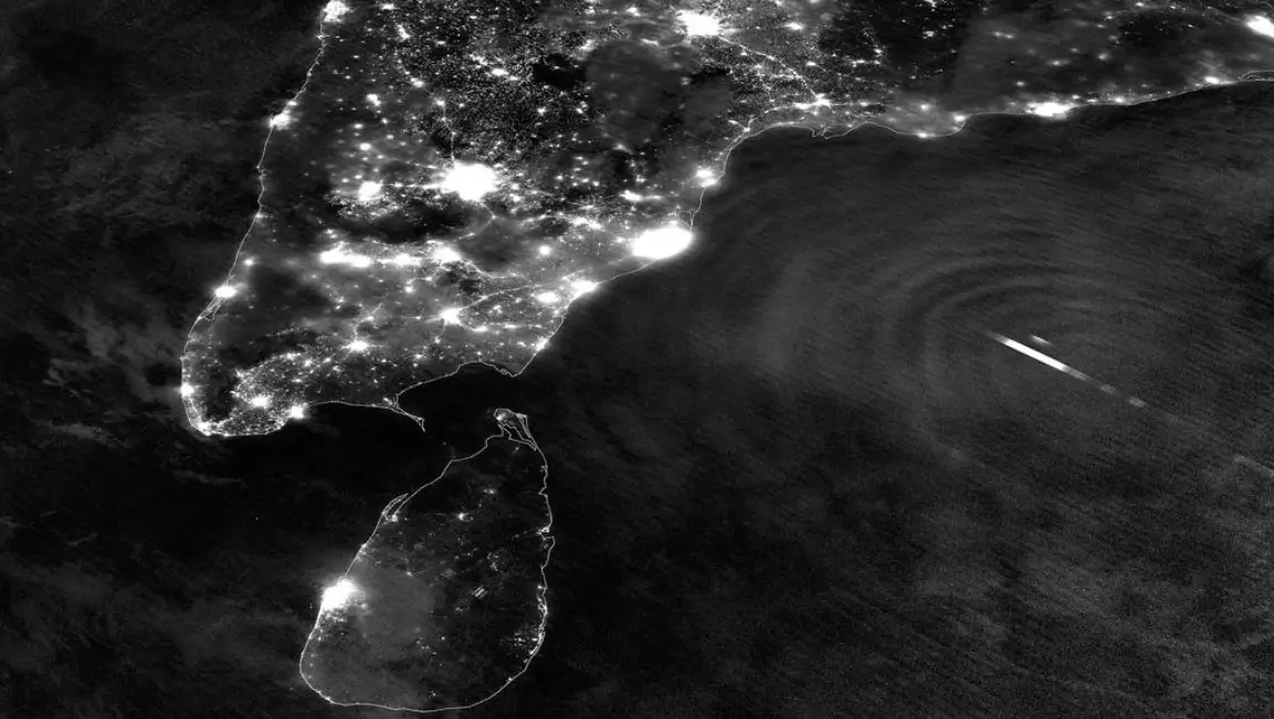
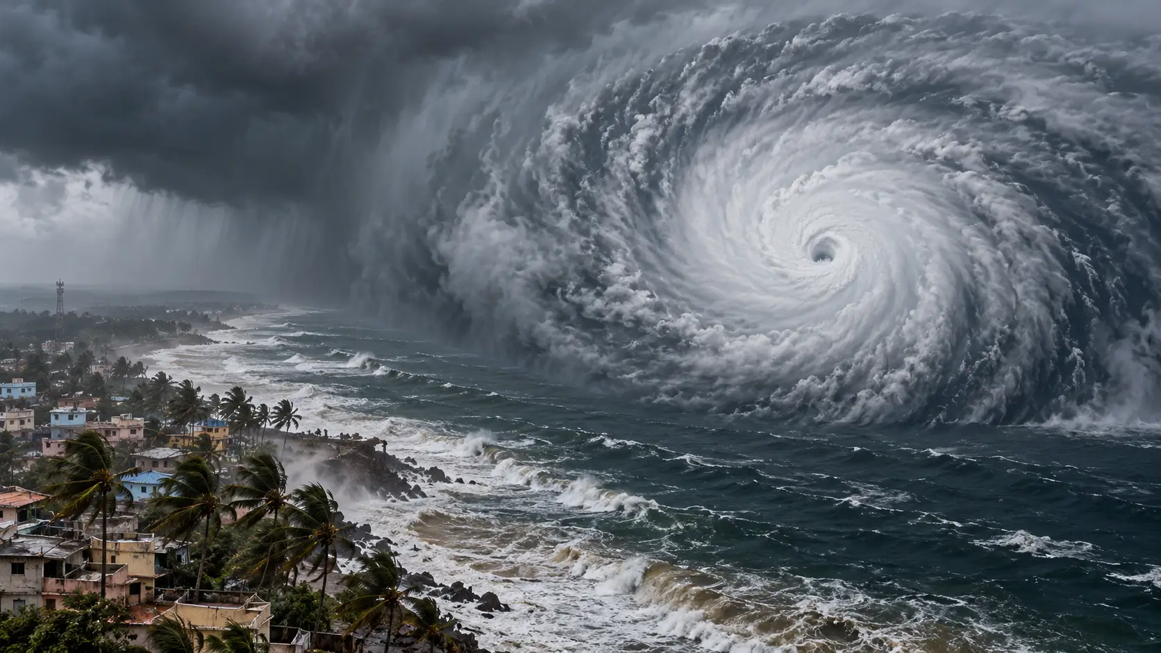
Three cyclones in less than a month have left communities along India's eastern coastline dealing with repeated evacuations, heavy rainfall and disrupted livelihoods. Cyclone Akvan became the latest storm to strike the region on November 20, 2026, following Cyclones Arnab and Murasu. The India Meteorological Department (IMD) confirmed that Akvan crossed the coast near Gopalpur in Odisha between 7:30 AM and 8:30 AM, carrying sustained winds of 70–80 kmph and gusts reaching 90 kmph.
All three storms originated in the Bay of Bengal. Their formation within weeks of one another highlights how seasonal atmospheric changes create favourable conditions for tropical cyclones.
Authorities evacuated more than three lakh residents from vulnerable locations in Odisha before Akvan approached the coastline. Hundreds of rescue teams were deployed, educational institutions were closed in affected districts, and several railway services were cancelled as precautionary measures.
Earlier forecasts had indicated that the storm could cross the Andhra Pradesh coastline with considerably stronger winds. However, its projected path shifted northwards, and it weakened before reaching Gopalpur. According to official rainfall observations, Patrapur received 209 mm of rain, Hinjili recorded 207 mm and Gopalpur received 190 mm during the 24 hours ending at 8:30 AM on Friday.
The southwest monsoon plays an important role in determining the cyclone season in India. Between June and September, differences in wind speed and direction at various atmospheric heights create strong vertical wind shear. These conditions make it difficult for tropical weather systems to develop an organised circulation. Other atmospheric and oceanic factors also contribute to comparatively limited cyclone activity during the summer monsoon.
Conditions change as the monsoon retreats. Wind shear decreases while sufficient atmospheric moisture and warm ocean temperatures provide favourable conditions for developing storms. In the Bay of Bengal, these seasonal changes produce two distinct periods of heightened cyclone activity: April–May and October–November. Research published in the Journal of Climate identifies reduced wind shear as a major factor behind increased cyclone formation during the post-monsoon months.
Historical IMD data for 1965–2020 indicate that approximately 3.5 cyclonic storms developed annually over the Bay of Bengal, compared with 1.2 over the Arabian Sea. Warm surface temperatures, atmospheric moisture and favourable circulation patterns contribute to this difference. Weather disturbances originating near the South China Sea can also move westwards into the northern Indian Ocean.
The geographical shape of the eastern coastline creates an additional hazard. Shallow coastal waters and funnel-shaped coastal regions can amplify storm surges, increasing the risk of flooding in low-lying settlements.
The India Meteorological Department has identified distinct geographical patterns in historical cyclone landfalls. Odisha and West Bengal experience greater cyclone exposure in October, while Andhra Pradesh records more landfalls in November. Tamil Nadu generally faces higher exposure in December as the seasonal distribution of storms shifts southwards.
These patterns help authorities prepare evacuation plans, position emergency personnel and issue fishing restrictions during periods of heightened risk. However, individual storms can deviate significantly from historical trends.
Akvan was forecast to weaken further after moving inland, although heavy rainfall and localised flooding remained concerns in affected areas. The post-monsoon cyclone season in India generally continues through December. However, historical records alone cannot establish whether another cyclone will develop this year. Coastal residents should continue monitoring IMD warnings and instructions from local disaster management authorities, particularly before returning to evacuated areas or resuming fishing activities.
Everything you need to know
Cyclone Akvan began making landfall near Gopalpur in Odisha's Ganjam district on the morning of November 20, 2026, after the IMD downgraded it to a cyclonic storm with winds of 70 to 80 kmph and gusts up to 90 kmph.
The southwest monsoon creates wind shear from June to September that disrupts storm formation. Once the monsoon withdraws, that shear eases and the atmosphere retains more moisture, making October and November the most active cyclone months in the north Indian Ocean.
IMD records show Odisha and West Bengal are more often affected in October, Andhra Pradesh in November, and Tamil Nadu in December, reflecting how the cyclone track shifts southward as the season progresses.




Nov 12, 2026
TUI Staff
Nov 08, 2026
TUI Staff
Nov 05, 2026
TUI Staff
Nov 05, 2026
TUI Staff
Nov 20, 2026
TUI Staff
Nov 19, 2026
TUI Staff
Nov 19, 2026
TUI Staff
Nov 18, 2026
TUI Staff

Stay informed with independent, fact-checked journalism on technology, environment, government, economy and more. India’s most trusted digital news platform.





Comments (0)
Be the first to comment!